The world has moved past paper maps and into the digital age.
Here are some examples of my online geospatial work.
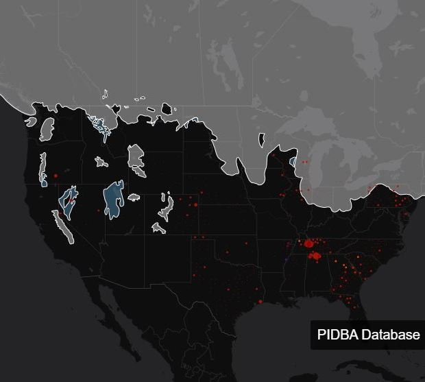
Using CartoDB to show datasets
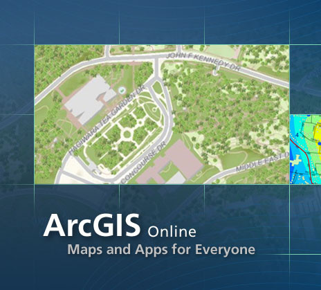
Making Maps using ESRI Online

Making maps using Mapbox

Leaflet is the leading open-source JavaScript library for mobile-friendly interactive maps.

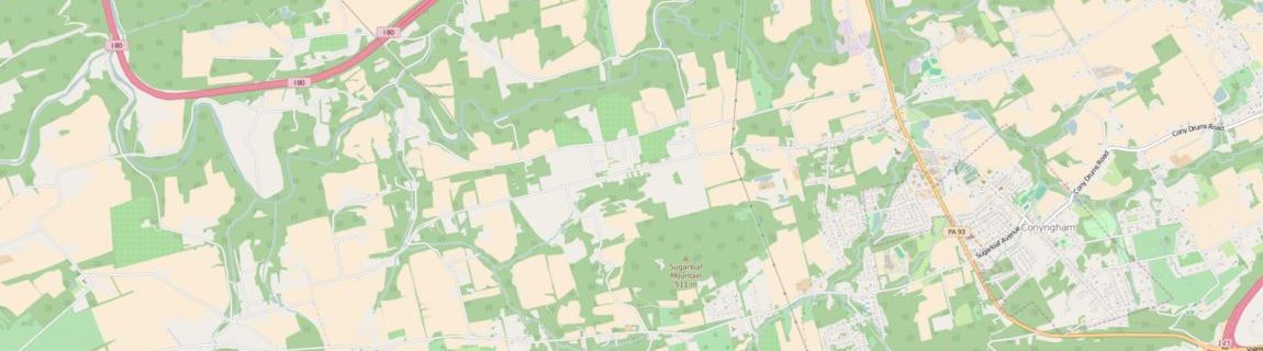
OpenLayers is an open source JavaScript library for displaying map data in web browsers.